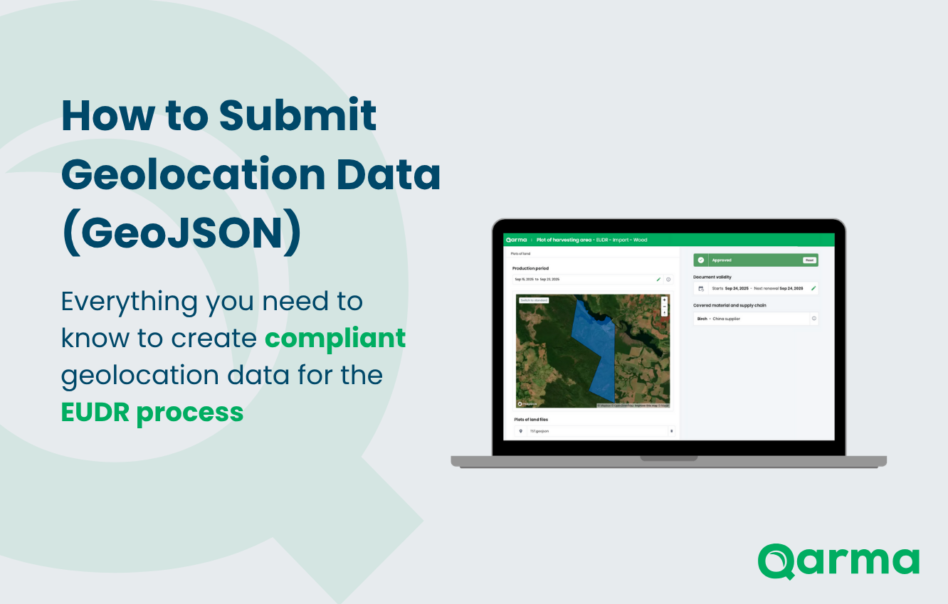
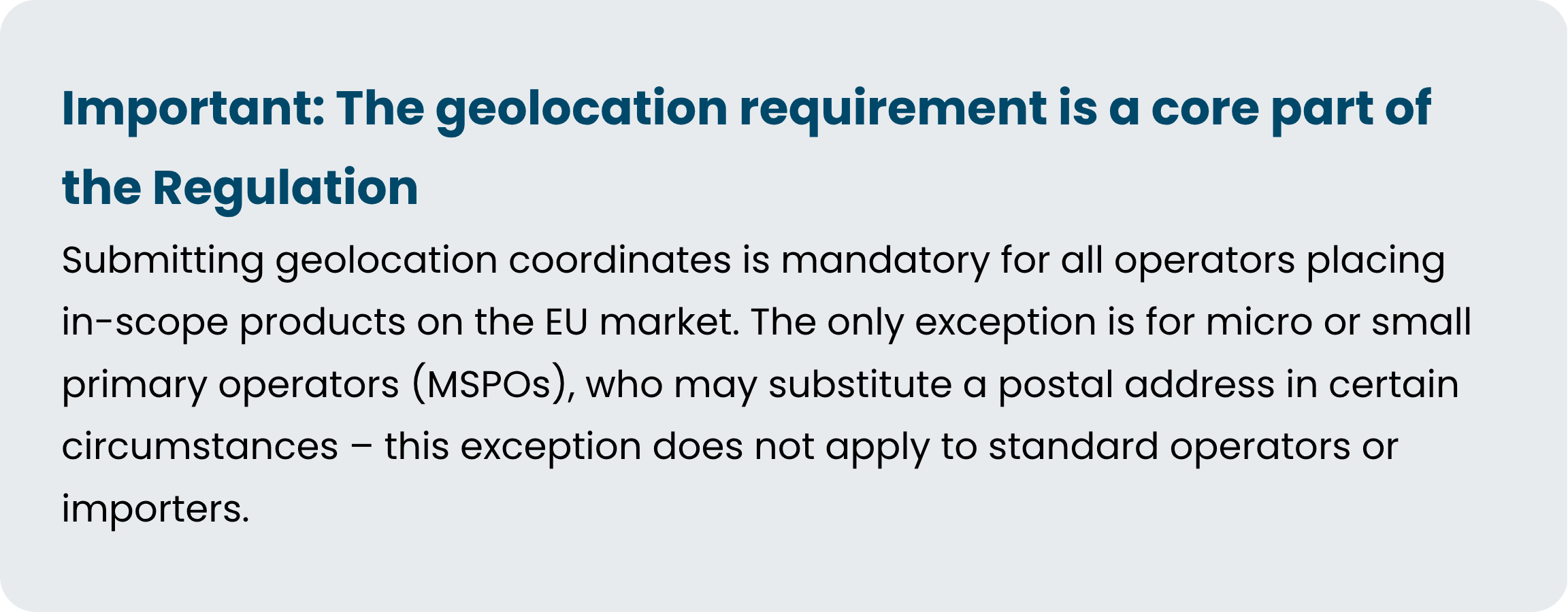
The EU Deforestation Regulation (EUDR) requires operators to collect plot-level geolocation data for every production area linked to in-scope commodities. Without it, a Due Diligence Statement (DDS) cannot be completed – and goods may be blocked from entering the EU market.
This guide explains what a GeoJSON file is, why it is required, how to create one, and how Qarma makes the collection and validation process manageable at scale.
What is a GeoJSON file?
A GeoJSON file is a standardised, open format for encoding geographic data. It uses a simple text-based structure (JSON) to describe shapes and points on the earth's surface – most commonly as polygons that trace the exact boundary of a production plot.
The file carries the .geojson extension and contains one or more "features", each representing a distinct polygon with a set of longitude/latitude coordinates. It is not an image or PDF – it is structured, machine-readable data that can be loaded directly into mapping tools, satellite analysis platforms, and compliance systems such as Qarma.
Why GeoJSON specifically?
- It is the format required by the EU Information System (TRACES) for DDS submission
- It is universally readable by mapping software, satellite tools, and compliance platforms
- A single file can contain multiple polygons, covering many production plots in one submission
- It is lightweight, human-readable, and supports automated deforestation risk analysis
Why is it required under EUDR?
Under EUDR, operators must demonstrate that commodities placed on the EU market have not contributed to deforestation or forest degradation after 31 December 2020. To verify this, compliance systems need precise, machine-readable coordinates of the production plots – not just a country or region name.
A valid GeoJSON file enables:
- Plot-level precision – exact polygon boundaries cross-referenced against satellite deforestation imagery
- Automated risk analysis - Qarma integrates with Satelligence to run deforestation risk assessments directly from the submitted file on
- Auditability – a verifiable, traceable record of the claimed production area, linked to your DDS
- Reusability – files uploaded to Qarma are stored and can be reused across purchase orders and products from the same origin
Point or polygon – which one do you need?
The regulation distinguishes between two types of geolocation depending on the size of the production area:

When in doubt, always use a polygon. It gives more precise information and reduces the risk of errors in downstream risk assessment.
How to create a GeoJSON file
The most accessible method for most suppliers is geojson.io, a free, browser-based mapping tool. No account or specialist software is required. For a full walkthrough of the steps to create a GeoJSON file, read our guide here.
Where GeoJSON fits in the Qarma workflow
Geolocation is one component of a broader due diligence process. In Qarma, it is collected as part of a structured supplier data task – alongside harvest dates, species information, country of origin, certification status, and the invoice trail.
Once a GeoJSON file is submitted, Qarma can trigger an automated deforestation risk analysis via Satelligence, returning a breakdown of:
- Share of natural forest removal within the polygon area
- Share of indigenous territory
- Share of protected area
This analysis, combined with legality risk assessment based on the EU country benchmarking system, determines the documentation requirements for each material supply chain. The GeoJSON file is then stored, linked to the relevant products and purchase orders, and referenced in the final Due Diligence Statement submitted to the EU Information System.

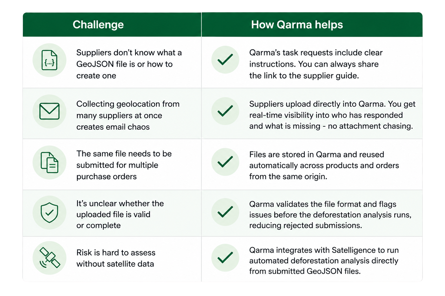
Common challenges – and how to avoid them
Ready to manage GeoJSON collection at scale?
Qarma’s EUDR module handles supplier data collection, geolocation upload, deforestation risk analysis, and DDS submission in one place.
You can access our guide on GeoJSON submission right here.
Based on EUDR FAQ 5th Iteration (Reg. EU 2025/2650). Intended as practical guidance, not legal advice.